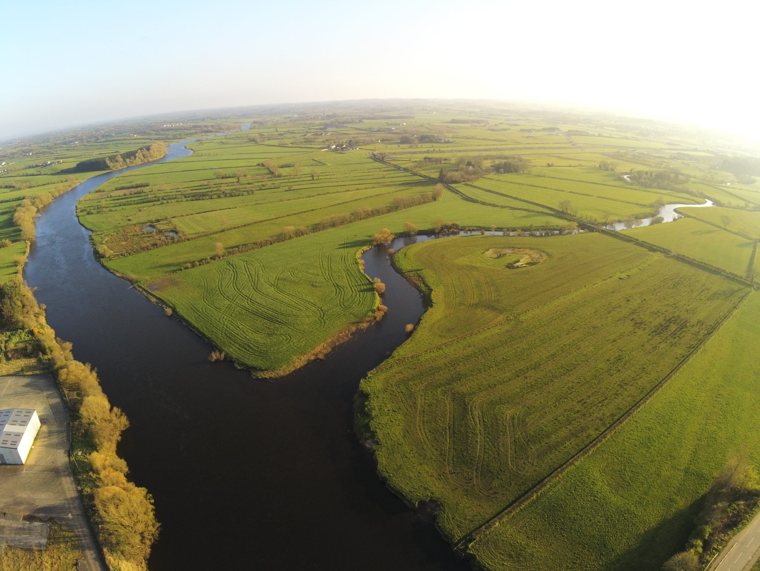
Click on the below link for Hydrometcloud and then click on the green icon on the Agivey River named Whitehill. It’s the pin closest to Garvagh (above to the right). The depth indicated here is from the station at Hunters Mill.
Additional information and PFD instruction guide can be found on Department for Infrastructure website at link below