
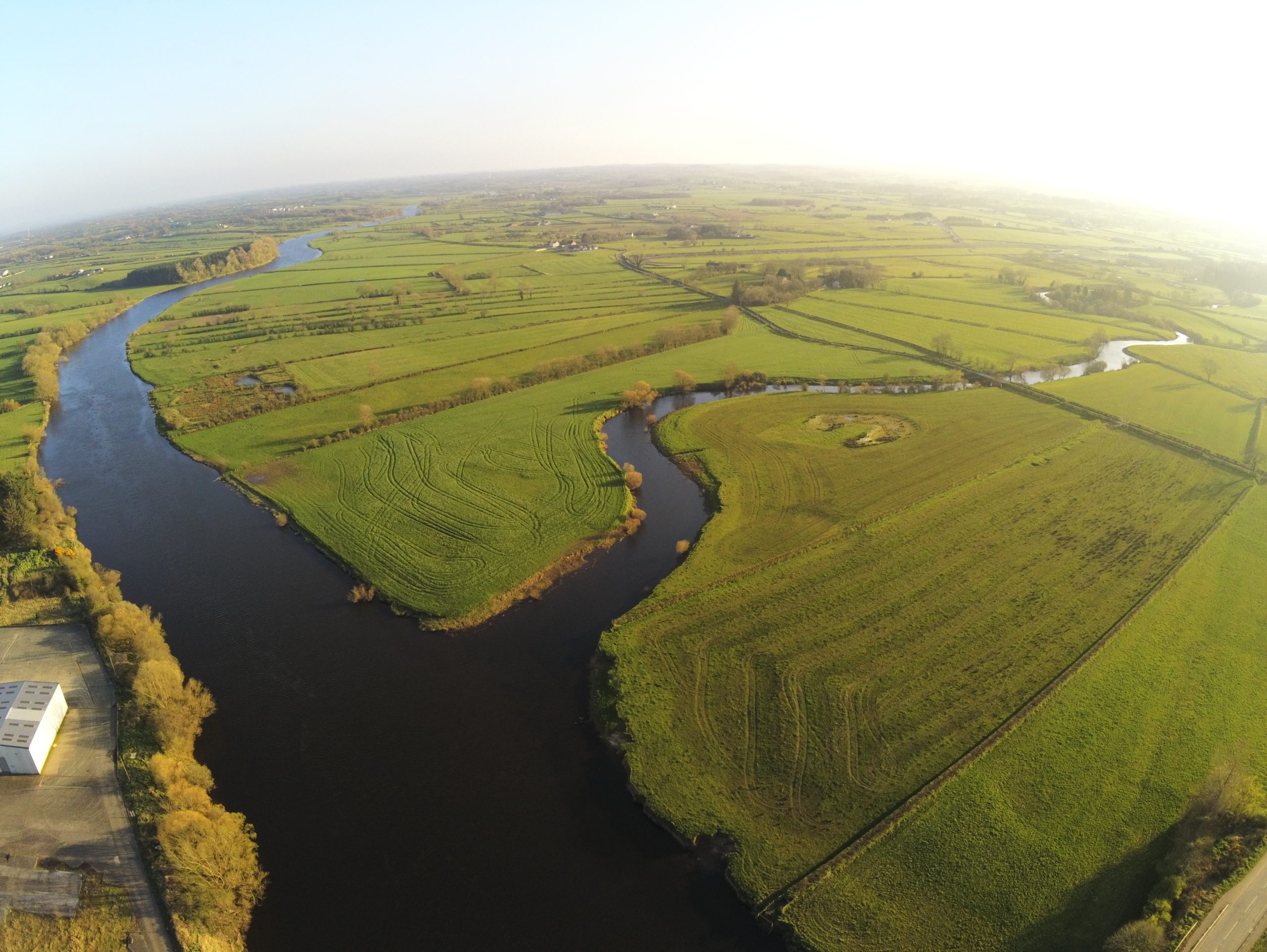
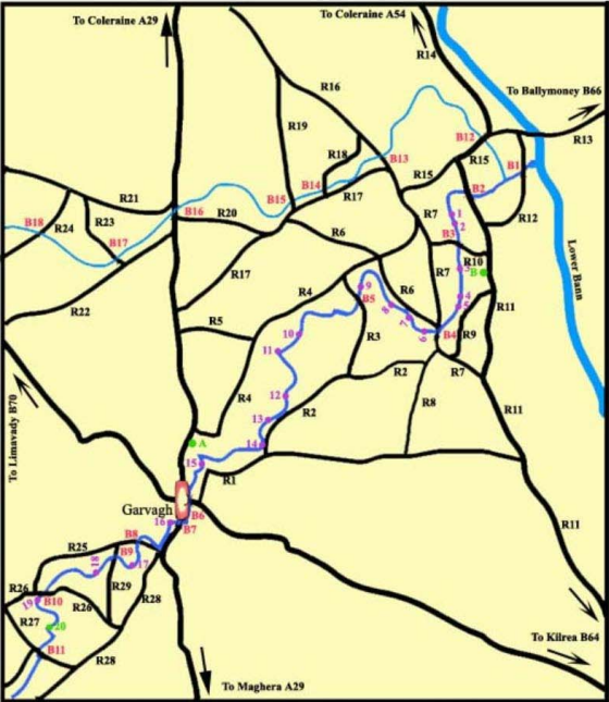
The map below covers the Big Agivey (dark blue) and the Wee Agivey (light blue) over the fishable length of both rivers.
The map uses a reference list for Roads, Bridges and well known Pools. The roads in the area are well signposted with road names at every junction.
The bridges all have name signs attached so are useful reference points for visiting anglers.
A list of some of the best known pools is attached and linked to pictures.
The map and reference list can be downloaded in both PDF or Word format for printing on a single A4 page
(colour is recommended but mono laser is still quite readable).
| Named Roads | Named Bridges | Named Pools |
| R2 – BALLYAGAN RD R3 – BRONE RD R4 – MONEYCARRIE RD R5 – KILLYKERGAN RD R6 – BALLYGAWLEY RD R7 – MULLAGHINCH RD R8 – CULLYRAMER RD R9 – CLAGAN RD R10- CULLYCAPPLE RD R11- AGIVEY RD R12- GLASGORT RD R13- BANN RD R14- CURRAGH RD R15- GLENKEEN RD R16- MONEYBRANNON RD R17- ARDREAGH RD R18- BALLYDEVITT RD R19- LISNAMUCK RD R20- GREENHILL RD R21- CRAIGMORE RD R22- GORRAN RD R23- BALLYNACALLY RD R24- MAYBOY RD R25- CHURCHTOWN RD R26- TEMPLE RD R27- BROCAGH RD R28- GLEN RD R29- GLEBE RD | B1 – GLASGORT BR B2 – BRICKHILL BR B3 – CULLYCAPPLE BR B4 – BOVAGH BR B5 – BRONE BR B6 – KILLEYVALLEY BR B7 – BALLYNAMEEN BR B8 – GREEN BR B9 – GLEBE FORDE B10- ERRIGAL BR B11- LOWER BROCAGH BR B12- AGIVEY BR B13- KEELY BR B14- BALLYDEVITT BR B15- BALLYBRITAIN BR B16- THE TWO BRIDGES B17- GORRAN BR B18- MABOY BR | 1 – Barley Pool 2 – O’Haras 3 – Hegartys Pool 4 – Clay Hole 5 – Barclay’s Weir 6 – Hunter’s Pool 7 – Bett’s Pool 8 – The Rock Hole 9 – The Doctors Weir 10 – Broan Weir 11 – The Swirl Pool 12 – Lynn’s Plum 13 – The Old Carry 14 – Lagoniel Weir 15 – The Alps 16 – Garvagh Weir 17 – The Green Weir 18 – White’s Weir 19 – Kelly’s Hole 20 – O’Kane’s Pool |